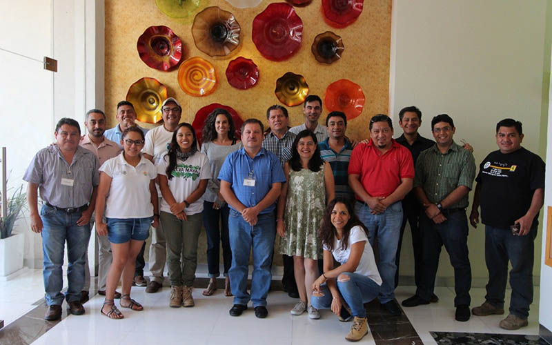
Developed by international conservation NGOs, the Spatial Monitoring And Reporting Tool (SMART) is a software designed for the management of protected areas. It combines a database with Geographic Information (GIS) modules with analysis and reporting tools to facilitate data collection and use of this information for efficient adaptive management of […]
Daily Archives: 8 December, 2017
1 post

