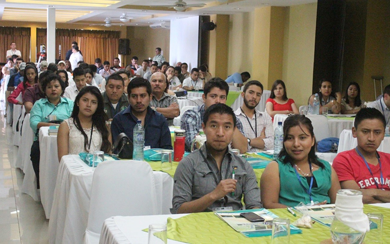
The X Regional Fire Management Forum was held in the city of Campeche in collaboration with the General Directorate of Geomatics of the National Commission for the Knowledge and Use of Biodiversity (CONABIO). During the forum interactive platforms on hot spots, early fire alerts and meteorological data were presented, addressing representatives of federal, state, and municipal authorities of the Yucatan Peninsula, as well as civil society organizations and key actors in decision-making regarding forest fire prevention and response.
The presented platforms included: CONABIO’s Early Warning System, the European Commission’s Wildfire Information System (GWIS), NASA FIRMS, SMN-CONAGUA, Global Forest Watch and VentuSky. In addition, The Fire Outlook Report for the 2019 Fire Season, as well as the Weekly Monitoring Report on Fires and Burnings in the Selva Maya were shown, elaborated by the Monitoring and Evaluation Center of the National Council of Protected Areas (CEMEC) of Guatemala.
The interest displayed by the participants reaffirms the relevance of disseminating and promoting the use of these tools, given the need for more and timely information on the presence and distribution of hot spots which can lead to fires, as well as access to meteorological information to be better prepared for this type of event.
Surveys were carried out at the end of the forum, the results of which will be analyzed by the technical team of the Selva Maya / GIZ Program and will serve as a diagnosis on the previous knowledge of these tools, the interest of decision makers in these tools, as well as the interest in receiving future training on their utilization and implementation.
