The Spatial Monitoring and Reporting Tool (SMART) is not only a method of data collection; is a set of best practices to help rangers in protected areas improve monitoring, evaluation and adaptive management of their patrol activities.
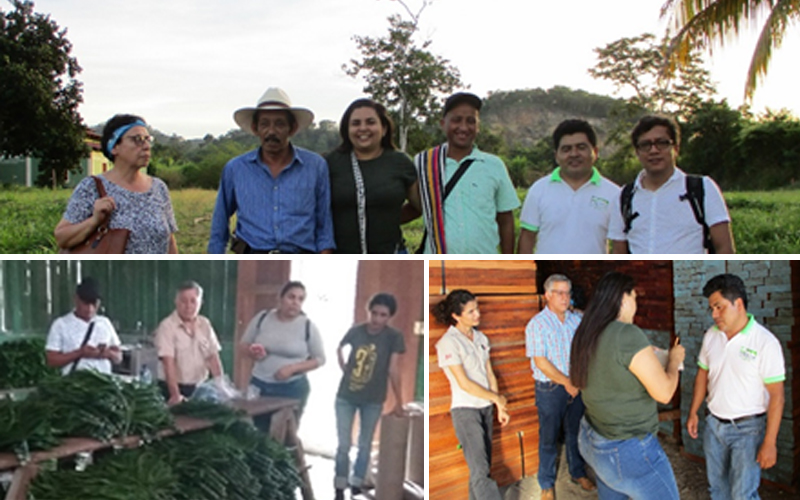
For this reason, on February 1 and 2, 2018, the Monitoring and Evaluation Center (CEMEC) of CONAP, the National Council of Protected Areas Region VIII – Petén and the Wildlife Conservation Society (WCS) gave a workshop on the use of this tool to personnel from the Montañas Mayas, Machaquilá and Xutilhá reserves in Guatemala. The objectives were: a) To support the activities of monitoring, control and surveillance in Protected Areas, b) To create capacities for the adoption of SMART c) To promote the systematic use of information for the Protected Areas evaluation d) To facilitate the writing of reports of activities and synthesis of information.
During the workshop, knowledge was shared about the collection and management of the field data. For the practical part, the Cyber Tracker software was installed on some of the participant´s mobile devices, with which data was collected in the community of Cerro Las Tres Cruces. Demonstrations were also made regarding the donwload of the collected information as well as the preparation of querries and reports.
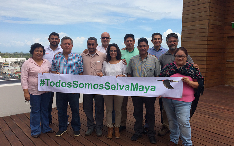
As well as the first SMART workshop held in December 2017, in Chetumal, Mexico; the present workshop supports the capacity building of personnel working in Protected Areas of the Selva Maya region. In the coming months, SMART will be implemented in the Rio Bravo Conservation and Management Area, a large protected area in Belize
