The range of applications for Synthetic-aperture radar (SAR) remote sensing is wide, some of the most recognized applications are designed for the temporary monitoring of processes, anthropogenic activities and natural disasters such as floods, landslides, subsidence, earthquakes and deforestation, amongst others.
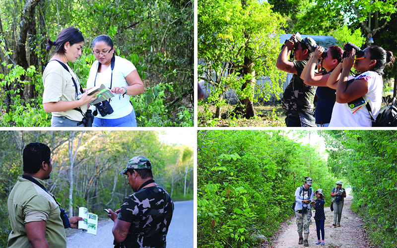
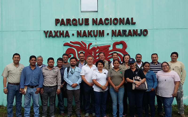
As part of the project Support for the monitoring of biodiversity and climate change in the Selva Maya, the CentroGeo (Centro de Investigación en Ciencias de Información Geoespacial, A.C.) gave the Workshop on Synthetic Aperture Radar (SAR), Interferometric Radar (InSAR) and Multispectral Optical Imaging, to representatives of the Monitoring and Evaluation Center of CONAP (CEMEC) / Wildlife Conservation Society (WCS) Guatemala and the National Commission for the Knowledge and Use of Biodiversity (CONABIO) of Mexico. The workshop took place from 23rd to 25th of January 2019 and was focused on exchanging experiences and strengthening the capacities of relevant actors.
The main objective of the workshop was to explore satellite images within the Copernicus program and thereby getting to know the details of the presence and evolution of territorial processes that impact the Selva Maya region. The methodologies and processes of the satellite information extraction, presented in a theoretical-practical manner, were applied to the monitoring of four relevant issues: Fire scars, Urban Growth, Water Bodies and Mangroves/ Wetlands.
It is intended that the knowledge and experiences acquired will generate useful information and products to develop further conservation actions and promote the sustainable use of the natural resources of the Selva Maya.