Developed by international conservation NGOs, the Spatial Monitoring And Reporting Tool (SMART) is a software designed for the management of protected areas. It combines a database with Geographic Information (GIS) modules with analysis and reporting tools to facilitate data collection and use of this information for efficient adaptive management of protected areas. Among others, it allows the collection of geo-referenced data during patrols through mobile phones.
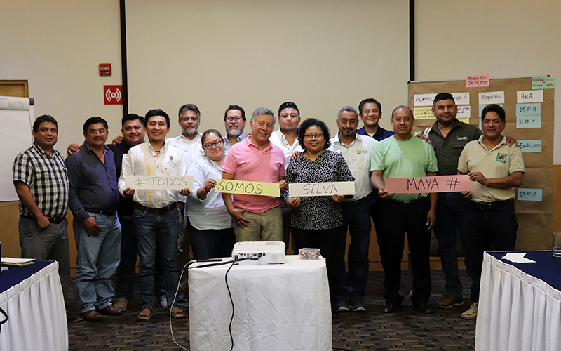
Within the framework of the Project Support for the Monitoring of Biodiversity and Climate Change in the Selva Maya of the GIZ, piloting of this system is supported in the Natural Protected Areas (ANPs) of the Yucatan Peninsula; Mexico. With the objective of defining the SMART database structure and the parameters to be registered by the ANP personnel the SMART Data Model Construction Workshop was held in Chetumal, Quintana Roo, from 4 to 5 December 2017.
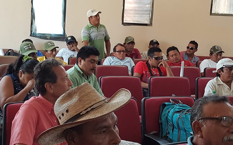
It was attended by executives and technical staff from the Yucatan Peninsula and Mexican Caribbean Regional Directorate of CONANP, the Environment Secretariat of Quintana Roo, the Regional Coordination in the Yucatan Peninsula of CONABIO and IUCN.
During the event, experts of the Wildlife Conservation Society (WCS) and the Monitoring and Evaluation Center of CONAP Petén (CEMEC, Guatemala) presented the background and potentials of the SMART tool by demonstrating its application in the Mayan Biosphere Reserve of Guatemala; they also made proposals for the first approximation of the data model that could be applicable and useful in the management of the Protected Areas of the Selva Maya and guided the refinement of the data model for Mexico by CONANP technical staff.


